Well, I arrived here in pouring rain after almost a week of clear sunshine; but that didn't dampen my spirits. The circle is signed from the road and is part of a route marked area serving ramblers, bird spotters and ecotourism (whatever that is). Although there is a car park and gravel path, which clearly put this site firmly in the category of "restored show site", the actual circle has a natural ambiance, save for the interpretation panel (which I know is important, working at the British Museum).
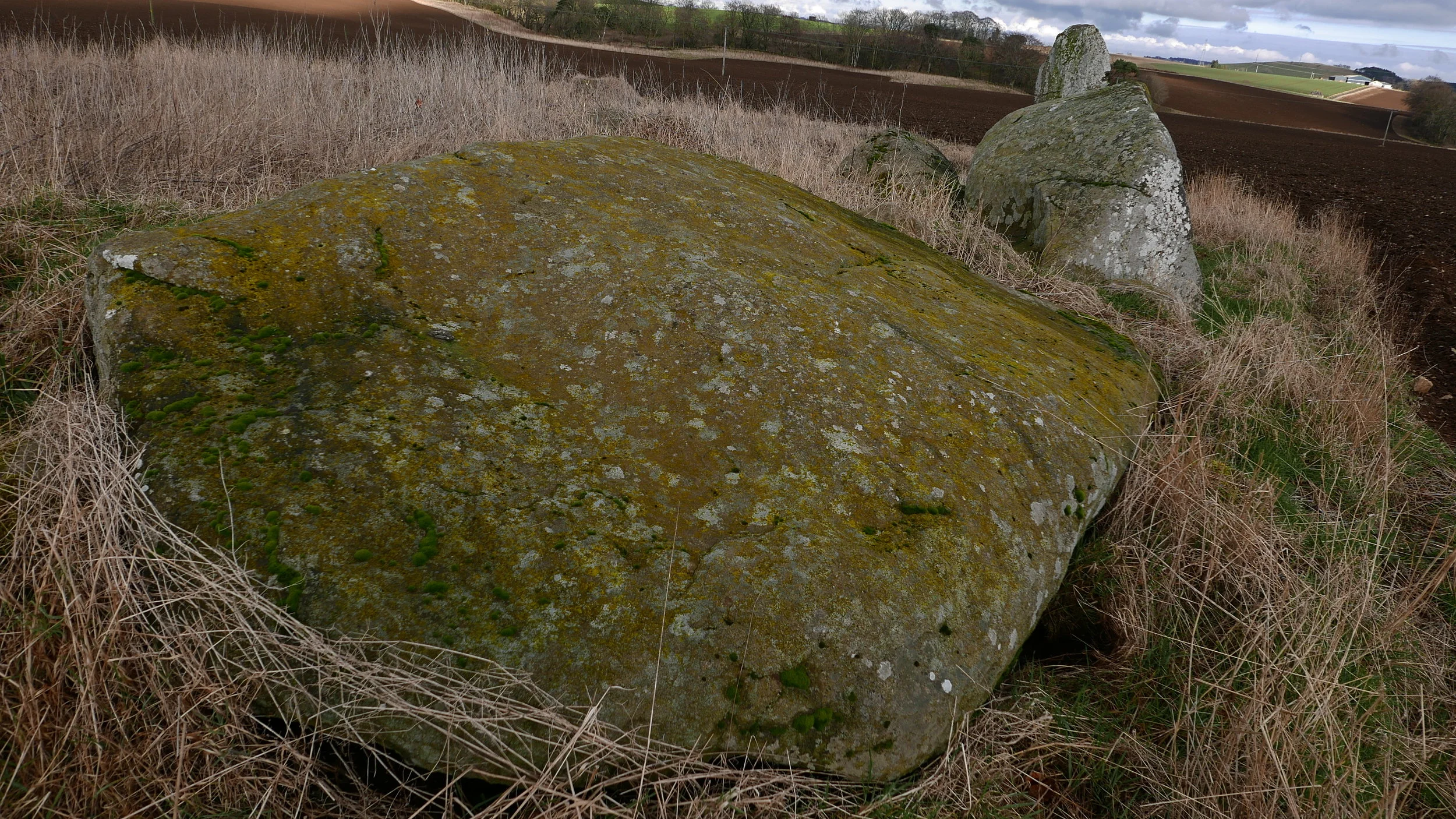
The recumbent and restored flankers. Something doesn't look quite right; they are too angular (as is the recumbent but I wager it has been eroded, as it clear from the top surface where a large pool of rain was gathering)
The recumbent is of the flat topped style, as opposed to disc style. Perhaps the flat effect is to create a perception twisting illusion of water?
Saved from landslide into a nearby quarry, this RSC has been restored sympathetically and should be held as an outstanding example of archaeology and tourism working side by side. The circle itself contains a ring cairn and many shaped standing stones. Like Aquhourthies, I felt the standing stones were serving the role of observers, bards, magicians, holding the circle together during the rituals enacted there.
Although obscured by low cloud, the altar looks out towards the Cairngorm mountains (which have virtually no neolithic monuments at all - have they yet to be discovered beneath thousands of years of ancient forest cover I wonder? Or were the mountains a feared and inhospitable place?)

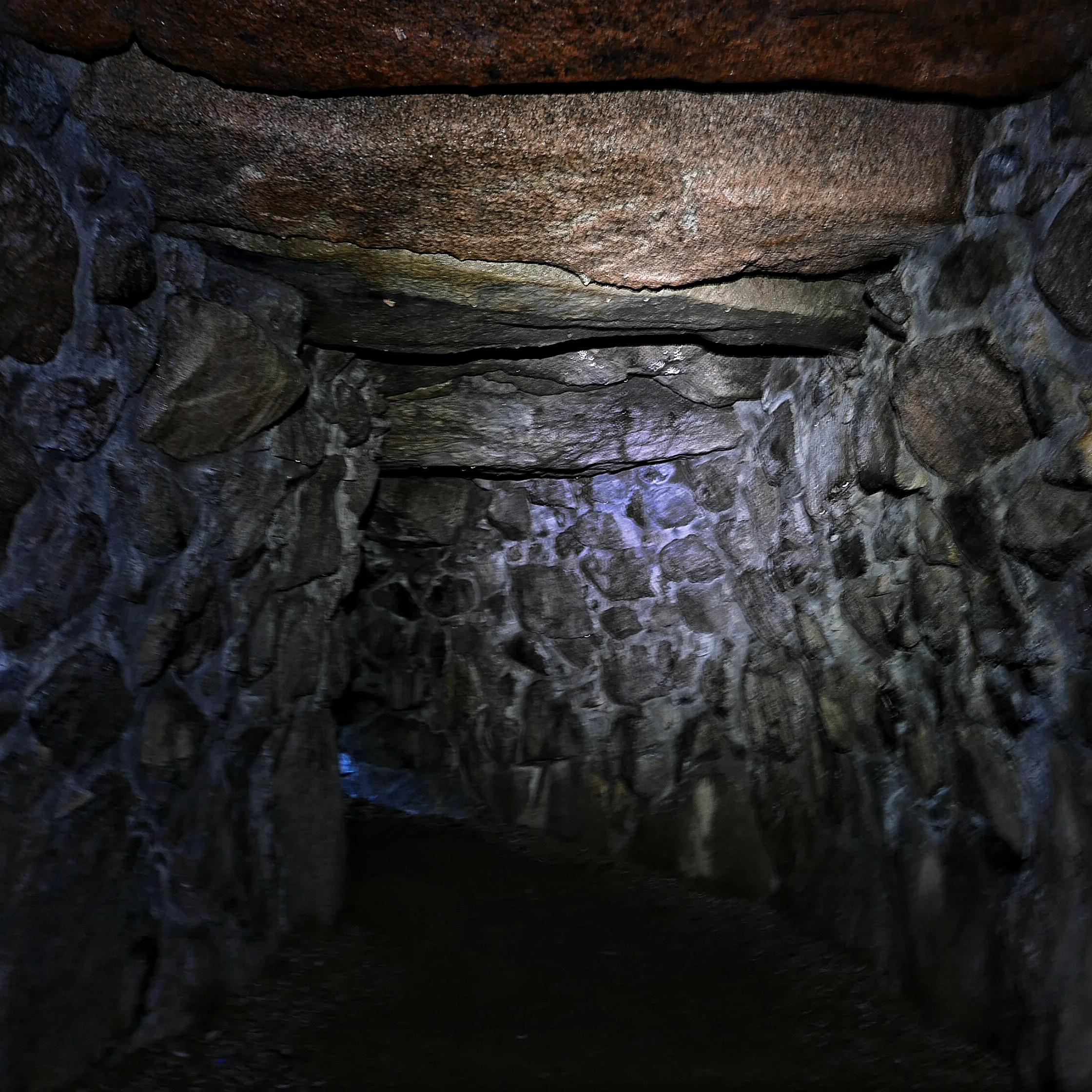

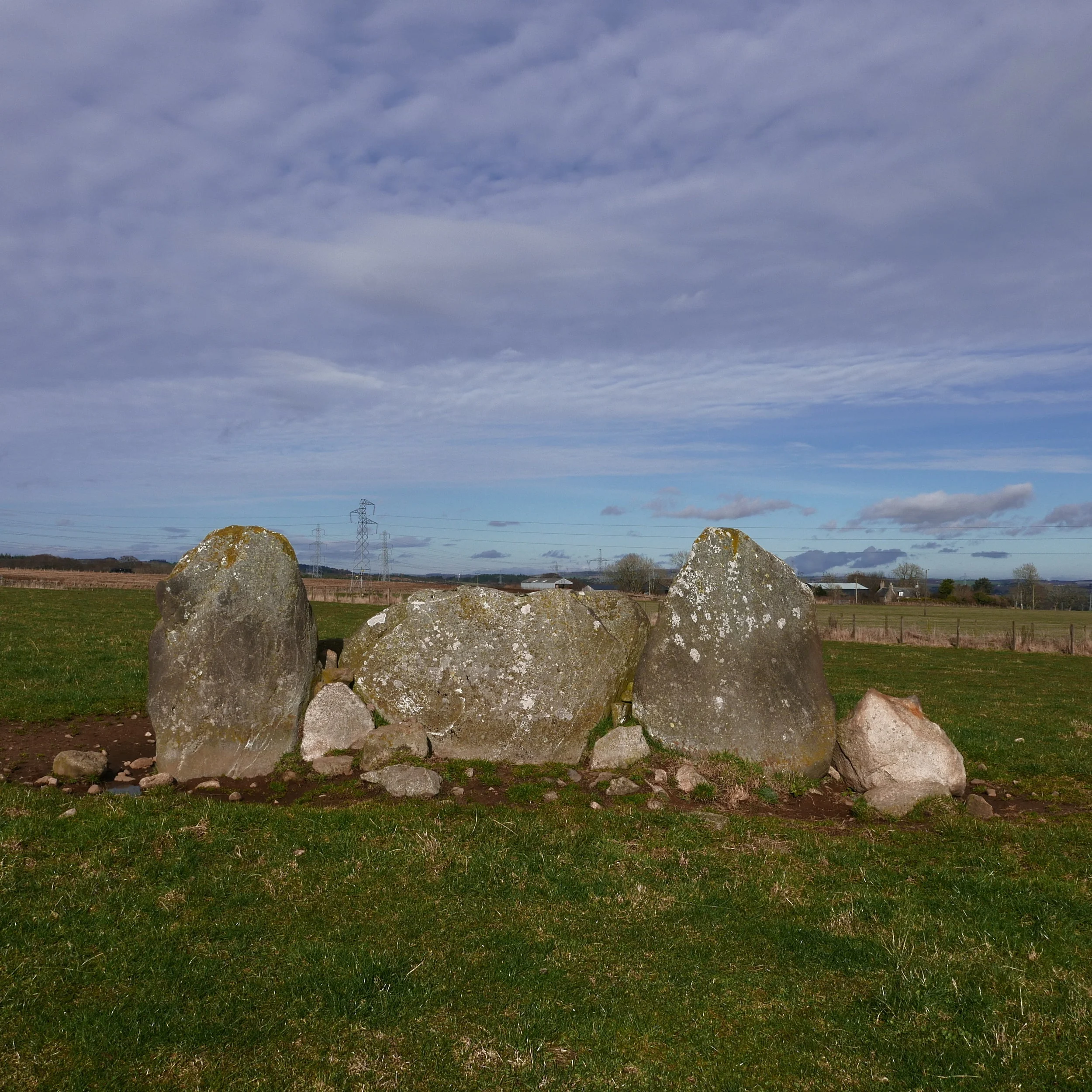
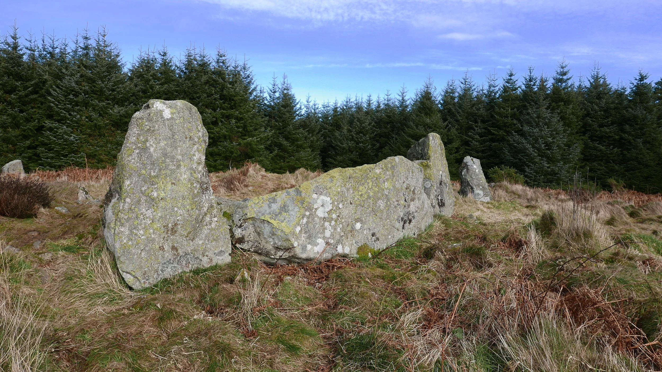


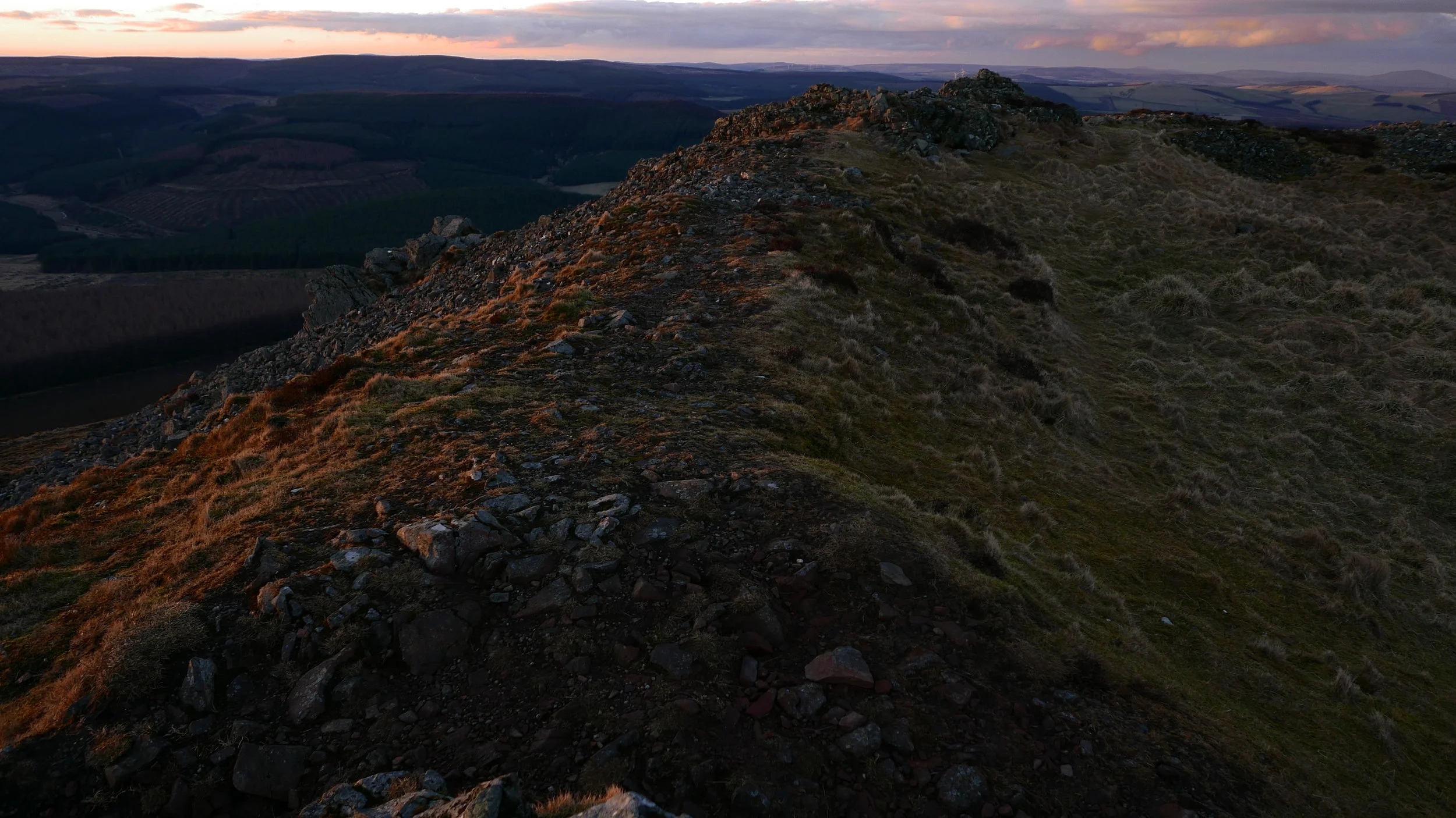

Extraordinary heavy metal circle near Aberdeen Dyce airport. One of the finest, most complete monuments of its kind. The growing urbanisation surrounding it cannot hold this druidic temple back.